Tuesday, February 6, 2018

Ocklawaha River

Because of Hurricane Irma, we decided to move our annual 10,000 Islands trip to another part of Florida.  I chose the Ocklawaha River because it's been on my radar for some time now.  There is a lot of fascinating history surrounding this river.  In the early 1800s, it was proposed to build a shipping canal across Florida.  Later in the 1930s, the US government starting looking at options to do this.  The plan was to start the canal at Yankeetown on the west coast and have it join the St. Johns River and go up to the Jacksonville area.  There was obviously a lot of push back on the project from environmentalists.  The Ocklawaha River would have been one of the main rivers dredged for the project.  Luckily, the idea was abandoned in the 1971 and officially cancelled in 1991.  Many dams, bridges, and other structures had been built already, but the remained on the land was given to the state to use as recreational land.  Read more about it here.

We drove up to the Ocklawaha Canoe Outpost near Fort McCoy, FL and car camped there for two nights.  The first full day of our trip, we went on a 7 mile hike along the Florida Trail in Ocala National Forest from Store 88 north to Lake Delancey.  Along the way we saw red-cockaded woodpeckers which are fairly rare.  

  
Alec, myself, and Auz on the Florida Trail 

Red-cockaded Woodpecker

The next day, we packed up our gear and got shuttled to Silver Springs State Park.  We quickly loaded up the canoes and headed down the Silver River.  We saw tons of birds: green herons, ibises, great blue herons, night-crowned herons, tri-color herons, wood ducks and many more.  Because the manatees were trying to avoid the cold water in the winter, we saw them in the clear blue spring water as well!

Auz and I on the Silver River

Wood Duck


Manatee

Silver Springs was a privately owned park from 1852-2013, when it became a Florida State Park. It was featured in many of the original Tarzan movies and was the filming location of The Creature from the Black Lagoon.  The park had many different owners over the years.  In the 1930s, the owner wanted to create a Jungle Cruise and purchased a troop of Rhesus monkeys.  He placed them on an island in the middle of the river and shortly after discovered that they are excellent swimmers and he watched them swim away.  They thrived in the wilds of Florida and today, it is estimate that there are about 200 of them living along the Silver River.  We were fortunate enough to see them!


Wild Rhesus Monkeys

That night we camped along a pretty area of grass on the river, where we forgot to photograph the campsite.  Oops!  The next day, we headed out around 10 AM.  Hurricane Irma has knocked down many trees into the river which made for some interesting paddling maneuvers.  


Thanks, Alec!

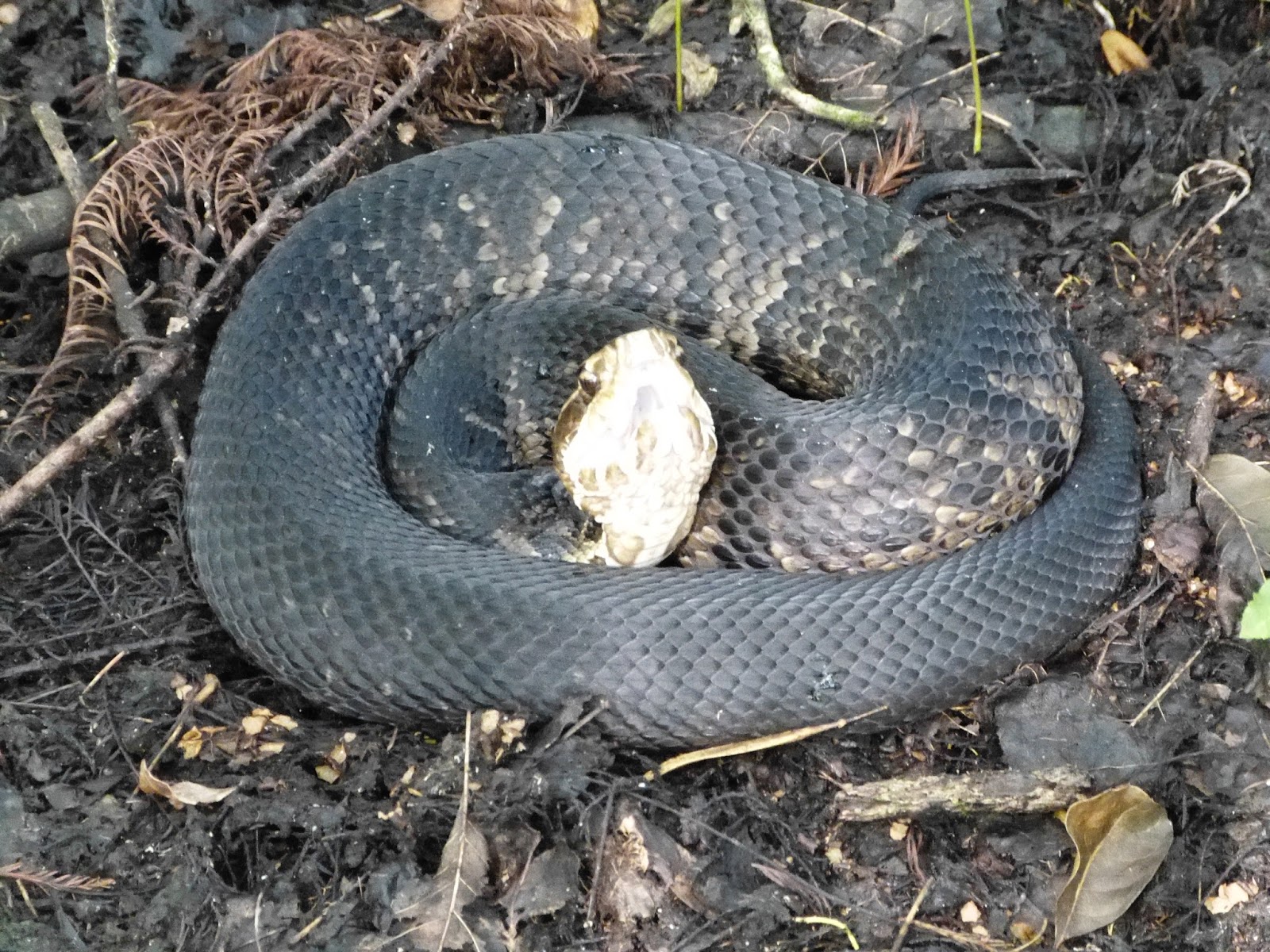
Our original plan was to camp for two nights on the river since the total trip was 26-28 miles.  Unfortunately, after we stopped for lunch at Gores Landing on Day 2, we failed to find another suitable campsite.  Around 4 pm we found ourselves back at the canoe outpost, where we opted to car camp for another night.  I would highly recommend paddling the Ocklawaha River.  We did see crews out there trying to clear the downed trees and it should be mostly cleaned up by next year.  There is typically an option for a side trip along the Dead River, but we were told it was currently impassible.

 Gator

Bald Eagle in a front yard on our way home

Thursday, April 7, 2016

Florida Trail: Keystone Heights to Lake Butler - 44 Miles

On this adventure, we car camped at Mike Roess Gold Head Branch State Park and shuttled ourselves around for long day hikes.

Day 1 - 19 miles

We arrived at the State Park shortly after they opened and since our campsite was empty, they allowed us to check in early.  We had already dropped a vehicle off at the Santa Fe Swamp Wildlife Area in Keystone Heights at our end point.  After parking at the campsite, we walked through some trees to join the Florida Trail.  The hike through the State Park was around 3 miles and very scenic.  It passed over Gold Head Branch, past incredible oak and pine trees, and past a deep ravine before reaching the park entrance.  We continued another mile or so before crossing SR 21 into Camp Blanding.  The trail follows an old road for a bit before turning off into the woods.  It later joins up with other old roads on the military base.  Finally, after some hilly miles we reached Magnolia Lake, which was gorgeous.  The trail follows the north side of the lake for almost 3 miles before going through the remains of Magnolia Lake State Park, which has been abandoned since the 1970s. We passed some old outhouse buildings with the following signs on them:


My research has told me that Magnolia Lake State Park was built in 1957 and provided segregated recreational facilities to African Americans.  It consisted of picnic facilities, a boat dock and ramp, bathhouse, swimming area, and 3,000 feet of lakefront.  The nearby Mike Roess Gold Head Branch State Park was only open to whites at the time. Once state parks were integrated in 1964, there was not a need for a separate facility and it was closed in the 1970s and the land was given back to Camp Blanding.


Abandoned Bathhouse


In 2005, President Bush signed The President's Malaria Initiative as a 5 year $1.2 billion program to reduce malaria deaths in African countries. As part of this initiative in 2012, this area of Camp Blanding was used to test various insecticides since the conditions are considered similar to sub-saharan Africa based on climate, location, and vegetation.  The wooden latrines were built to replicate huts that would be found in Africa and were placed in open, grassy areas that were near moderately dense woods.  Panels of different materials treated with insecticides were placed inside each latrine.  Some of the panels were sent back to the CDC after 2 weeks, 1 month, 4 months, and 6 months.  The study was to test how long the insecticide would stay applied to the various materials and whether or not different chemicals could be added to improve longevity.  Currently, there is no insecticide testing going on at Camp Blanding.

Magnolia Lake

Old Utility Shed

 After eating our lunch in the old picnic shelter, we continued on the last mile through Camp Blanding.  We then had a 4+ mile road walk ahead of us.  Most of it was through a scenic neighborhood, but it was hot walking in the open.  After 17 or so miles, we arrived at a convenience store where we purchased popsicles and large cans of soda.  These made the last couple of miles bearable.  Shortly before exiting the trail, we passed the gorgeous new campsite installed by the North Florida Trail Blazers chapter of the FTA.  We finally arrived back at the car and headed back to our campsite.  After setting up our tents and showering, we enjoyed some beers while we cooked dinner.


Day 2 - 16 miles

Auz realized she had left our bagels on the counter, so we drove into town and had a large breakfast at the Keystone Inn.  On the drive out of the park, we saw many rabbits and deer along the road.  One car was dropped off at the intersection of CR 235 and the Palatka-Lake Butler State Trail which the Florida Trail joins with for awhile.  We started our day back at the Santa Fe Swamp and walked the 0.8 mi to rejoin the Florida Trail.  Our legs were a bit sore, but the pain dissipated one we started hiking again.  After 5 or so miles, we took a break at a ball park just outside Hampton.  Shortly afterwards we saw a fox way up ahead on the trail.  Today's hike was linear and flat.  There was a short section that  went through a beautiful cypress swamp. 


Sadly, the beauty was wrecked a few yards later by lots of trash dumped on the side of the trail.  This trash was obviously from locals since it included televisions and other large items.  Because we were tired from the first day, the last 3 or so miles felt like they took forever.  There was also a lot of granite rocks on the trail which slowed us down slightly.  After getting back to our campsite, we showered, ate dinner, and went to bed early.

Trailhead at CR235

Day 3 - 9 miles

Our alarms went off at 5:30 AM to ensure we had time to pack up camp and eat breakfast.  We headed up through Starke to Lake Butler and dropped a car off at the Union Depot trailhead, then drove back down to CR 235 where it intersects with the Florida Trail.  The day started with a 5 mile road walk in order to cross over a river since the bridge is out on the actual trail.  Unfortunately, we ran into quite a few dogs on this leg.  2 were aggressive and 1 just wanted to join us.  When we rejoined the trail, it was with a paved bicycle path that led back to town.  This was scenic and easy hiking.  After reaching the car around noon, we picked up Publix subs on our way back to Auz's house.  That evening we went to the spa for pedicures which were definitely earned!


Sunday, June 29, 2014

Ghost Orchid Hunting 2014

Last Sunday, my dad and I randomly decided to take a drive out to the same spot as last year to look for ghost orchids.  We knew it was going to be a lot drier than last year but were shocked that it was completely dry except for a few puddles!  We were in the hammock about 10 minutes before I spotted this first ghost orchid of the day!  


I found it by looking on the same trees as last year that I had marked in my GPS.  I did notice, though, that it is much easier to find them by searching for the roots on the trees and then seeing if there is a bloom attached rather than searching for the flower to begin with.  We kept wandering around the hammock searching for more.  I heard some voices nearby and since we were in a "secret" location, we kept very quiet.  The silence was broken when I near screamed from realizing my foot was inches from a very angry Cottonmouth.


I jumped away and my dad just kept asking, "How did you even see it??"  It was just perfectly camouflaged.  I've had so many close encounters with snakes now that I'm very seriously going to purchase a pair of snake boots for expeditions like this one.  I finally calmed down and we were wandering further into the hammock when a man snuck up behind me and starting chanting fake Native American noises and saying "You may not enter!".  I quickly realized it was a hiking buddy of mine out there with 2 others from our group!  Five sets of eyes are better than two so collectively we started finding a ton of ghost orchids.  We found a lot of doubles and a lot of them were low to the ground to make for fantastic photographs!


After searching and finding so many, we decided to head out after some last pictures.  Our friends stayed behind and continued searching for ghost orchids and other rare flora.

Dad and me in front of an old growth cypress


                                                             Dingy star orchid


Monday, June 2, 2014

Gear Review: Macabi Skirt

I just posted my review of the Macabi Skirt on Trailspace.  You can read it here.

You can read more about the skirt or purchase one at Macabi's website.  Yes, they even make one for men.  Here are some pics of me wearing the skirt:


Sunday, June 1, 2014

Moccasin Marsh, Wonder Dome, Thunder Dome and Bonus Dome Hike

This morning I joined 12 other hikers at the Oasis Visitor Center to explore a few cypress domes along the Florida Trail.  Because our rainy season hasn't quite arrived yet, the trail was surprisingly bone dry!  It was a nice change even if it was extremely hot.  We left the visitor center around 8 AM and hiked 3 miles north along the Florida trail.


We stopped to look at some oak toads, Eastern Meadow Larks, and various grasshoppers.  We veered off the trail near the beginning of the blue loop and headed into Moccasin Marsh.  Because there was no water, there were also no moccasins this time.  All of these domes were named by my friend Christopher so you won't exactly be able to find them on a map.  

Testing out the panoramic feature on my new phone


We explored this small dome quickly then moved on to Wonder Dome.  Usually the center of this dome is filled with at least 3 feet of water but today this one was also completely dry.  We took a break in the middle of the dome and enjoyed some snacks.


After 30 minutes, we moved on to cross a prairie to explore Thunder Dome.  This one was also free of water except for a tiny mud puddle in the very center.  We sat around the puddle on some logs and took photos.


We were about to head back to the trail when Christopher spotted a 4th cypress dome he hadn't explored yet.  We voted to check it out real quick.  That one had the most sawgrass and we even saw a 3 foot Water Moccasin!  We headed back to the trail and took a quick break to hydrate.  The 3 miles back to the cars were quick since the trail was dry but it was extremely hot out (in the low 90s).  Overall, it was an easy 7.7 mile hike today.

Burnt parts of the trail